The U.S. Drought Monitor is jointly produced by the National Drought Mitigation Center at the University of Nebraska-Lincoln, the United States Department of Agriculture, and the National Oceanic and Atmospheric Administration. Map courtesy of NDMC.
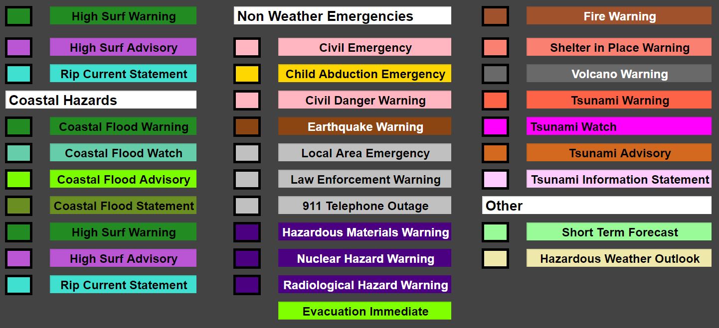
The Disaster Dashboard is for anyone looking to improve their situational awareness of the disasters and current near real time threats to the United States. We designed it with emergency responders in mind. The resources on this page come from several pages across the web, mostly the National Weather Service, NOAA, & the Space Weather Prediction Center. We have grouped them all in one convenient location.
To confirm the information found here, we recommend you checkout the National Weather Service website.
We hope to develop more off of the disaster dashboard. Have an idea? We’d love to hear your comments on our Facebook page or our contact page.
*The information on this site should not take the place of emergency warnings. We have tried to make the information timely and accurate but recommend verifying the information here.
Be the first one to hear about new features and articles.